City Tour
Location
- Asematie 52700 Mäntyharju Navigate
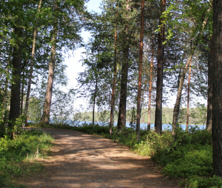
The City Tour starts at the Mäntyharju Railway Station, through the village centre and leads to Uutela Shelter following the signposted city tour guide. The route is 12,5 km long and marked with orange signs. Additional arrows mark the route and information maps highlight places of natural beauty and cultural historic interest. You may find also geocache nearby. Places to stop: Pappilanniemi Nuotioniemi shelter Uutela shelter Starting point Mäntyharju railway station Asematie, 52700 Mäntyharju NB: On a page www.mantyharju.fi/mantyharju-in-english/ you'll find a brochure in English.