Mäntyharju-Repovesi National Park, Off road cycling route
Location
- Kyttäläntie 52700 Mäntyharju Navigate
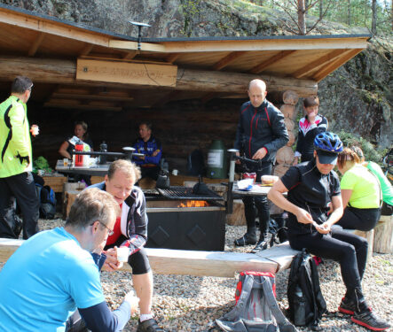
The route has both easy and more challenging sections. The first part is suitable for those with less experience. The hiking and cycling routes overlap in places. Follow the blue markings on trees and signposts. You may find also geocache nearby. Varied Terrain, Magestic Scenery The Mäntyharju side has a constructed Off Road Cycling Track. Most of the Kouvola side is sand, but there are some more technically demanding, but ride-able sections. The Pitkäjärvi hiking section has at least three areas where bikes have to be carried. Resting places Uutela shelter, Sammalinen goahti, Pitkäjärvi shelter, Matkoslampi shelter, Pitkälampi resting area Starting Point Kyttäläntie 21, 52700 Mäntyharju NB: On a page www.mantyharju.fi/mantyharju-in-english/ you'll find a brochure in English.