The Kirkonkylä route, Off Road Cycling Track
Location
- Urheilutie 1 52700 Mäntyharju Navigate
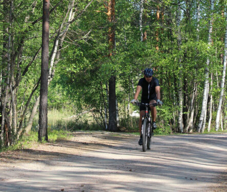
This is the easy one for the beginners. The first part, approximately 2 km, is on a hiking route, then turning to the right into the forest to follow the narrower off road track. The forest section before the Uutela shelter is easy, with some up and down sections ideal to practise bike control. You may find also geocache nearby. Resting places • Uutela shelter Places to visit and services • Mäntyharju church • The Village summer kiosk • Art center Salmela and restaurant Kesäheinä • Old vicarage museum site • Services available at Mäntyharju center Starting point Kyttäläntie 21, 52700 Mäntyharju NB: On a page www.mantyharju.fi/mantyharju-in-english/ you'll find a brochure in English.